The Climate of The DLX
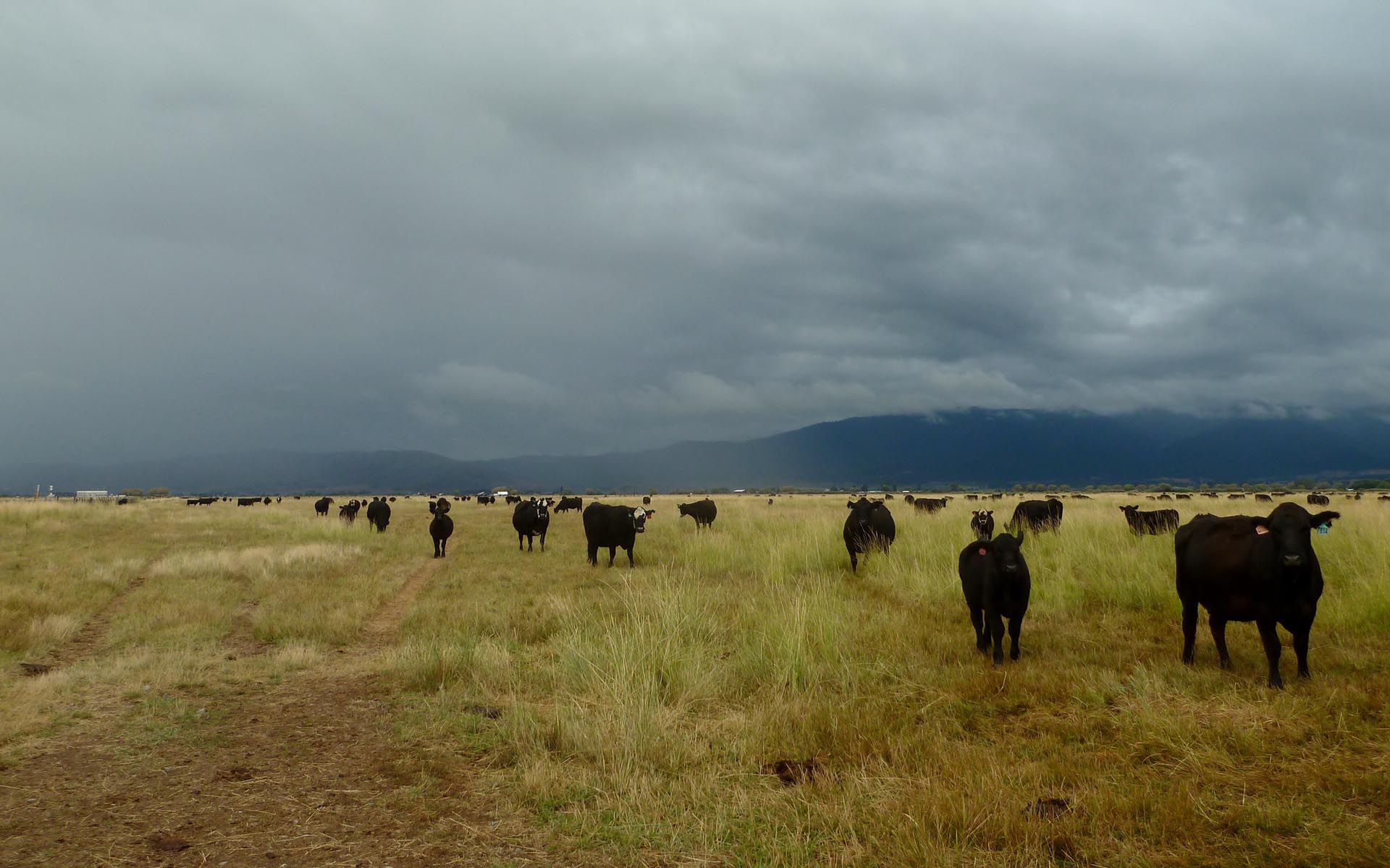
Climate of The DLX
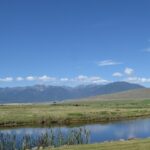
Weather varies significantly from year to year in the Baker area, however, the predominantly semi-arid climate keeps conditions mostly dry in the valley throughout the year. Winters are generally snowy and cold, while summers are hot and dry, but they can be cool at times. Thunderstorms are a summer afternoon highlight on occasion, with a typical average of 15-25 thunderstorms during the season. Summer high temperatures, depending on the day, range from 75-95 degrees from June-August, but as soon as fall (Late September-October) arrives, they rapidly plummet into the 55-70 degree range. Winter high temperatures range anywhere from 10-20 degrees Fahrenheit on the coldest days (and sometimes lower during a cold spell or an inversion) to 25-40 degrees on the average winter day (December-February). Nighttime lows are brutal, ranging from as low as -20 to 15 on average. Lows are almost always below 20 degrees during the winter months.
In terms of annual rainfall, this area receives 9 to 11 inches on average. In years of extreme drought, this total may not exceed 6 inches. During the wettest years, Baker will pick up anywhere from 13-16 inches, however, this is uncommon. In the Baker City area, a AWOS, (Automated Weather Observing System) located at the Baker City Municipal Airport, has been reporting local weather conditions since 1943. It sends the information it records to the National Weather Service and many other government-run data collection agencies. According to this station, the wettest year on record for the Baker City area was in the year 1978, when it reported a total of 15.76 inches. Conversely, the driest year on record at the local airport was back in 2002 when only 5.63 inches of precipitation fell.
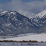
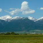
During the winter, the precipitation in this area falls primarily in the form of snow, but, generally, it comes in small amounts. On average, depending on the distance from the Elkhorn Mountains (The nearby chain of mountains), Baker Valley will receive about 25 inches in one winter season. The highest total in one season (July-July) for the airport is 53 inches (1989), and the lowest is 6 inches (1992). Closer to the mountains, both snow and rain totals dramatically increase, because many of the storms get “stuck” on the 9,100-foot peaks of the Elkhorns and, thus, drop higher quantities of precipitation over these areas. By the time these storms make it over the mountains, they carry less water with them. However, many of the storms that impact the area come from the south or southwest where the mountains are not as tall. As a result, the area can still be impacted by a large storm.
The highest daily precipitation total for the Baker City Airport was recorded on August 31, 1984 when a rainstorm dumped 2.29 inches in a 24-hour period. Most recently, a thunderstorm on July 10, 2015 dumped the second highest total for a 24-hour period, a total 2.03 inches at the Baker City Airport. According to the DLX Weather Station on the same day (7/10/15), a total of 1.68 inches was recorded. The saying “Rain doesn’t fall the same on all” comes in to play here. In the Baker City area, there is an average of one “incher” storm per year, or a storm that at least comes close to this.
In addition, wind speeds in the valley are highly variable throughout the year. As a generality, winds are light during the summer mornings, while picking up speed, usually from a northerly direction, in the afternoon hours when it is warmer. In the late summer and early fall when the weather is more tranquil, most days the winds are light and variable (constantly changing directions), but most locals know this can be subject to change on short notice. On cold and clear winter days when the inversion traps the cold air in the mountain valleys such as Baker Valley, the winds are almost always completely calm, sometimes for days on end until a change in the weather disrupts the stagnant air. During the rest of the year (winter and spring) the winds are a wildcard that change in accordance with the weather pattern. The highest wind gust recorded by the The DLX Weather Station since it began operation in late 2011 was on September 4, 2013 when the wind gusted to 46 mph during a late-night thunderstorm.
Another aspect of the climate in the Baker area that is often over-looked by most local residents is the dry air. During the summer months, the dew point (the temperature that air must be in order to be fully saturated with water) is usually low and ranges anywhere from 20 to 50 degrees Fahrenheit. Many other regions around the United States swelter in the oppressive dew point and high summer temperature combination, where dew points can be 60+ for months. When the temperature surpasses 70 degrees Fahrenheit and the dew point is above 55 degrees Fahrenheit, it is what people refer to as “humid.” In Baker City, there are only a few days during the summer that are humid, but it is not unbearable. The higher the dew point and temperature, the more uncomfortable it becomes. If they are really close to each other or match each other, this means that the air is fully saturated. Fortunately, these conditions are extremely rare in the Baker City area, as the mountainous surroundings and the semi-arid climate prevent them from occurring.
For a more detailed analysis of Baker City’s climate, please click on the link titled “Baker City Climate.” It will open a new tab with a web page prepared by Oregon State University. The link titled ” Baker City Average Weather” will open the National Oceanic and Atmospheric Administration’s web page for the Baker City Airport. It will present tables and graphs with the average weather conditions for the city, and it gives its viewers the option to view other weather-related information or weather averages from locations all across the United States.


